Reimagining the riverfront: DDD interns unveil visionary model for downtown riverfront
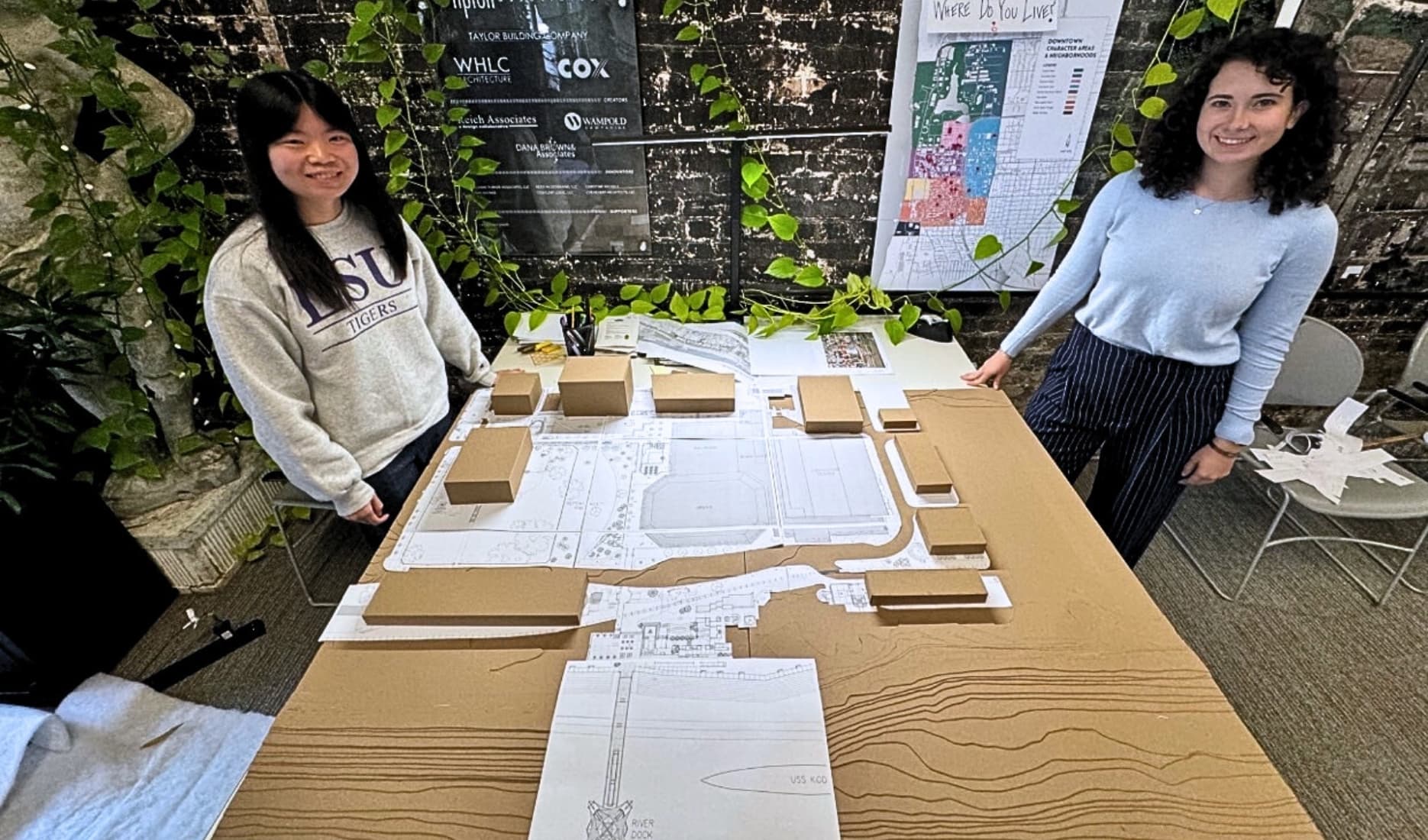
Downtown Development District interns Sydney Milligan and Amanda Richter unveiled their model for a redesigned River Center Complex. They were inspired by extensive site observations, the 2023 CSL Report and the LSU Landscape Architecture Study on the River Center Complex.
Their model reimagines the area with a convention center hotel, restaurants, retail spaces and an emphasis on pedestrian connections to key downtown attractions, including the USS Kidd and the riverfront.
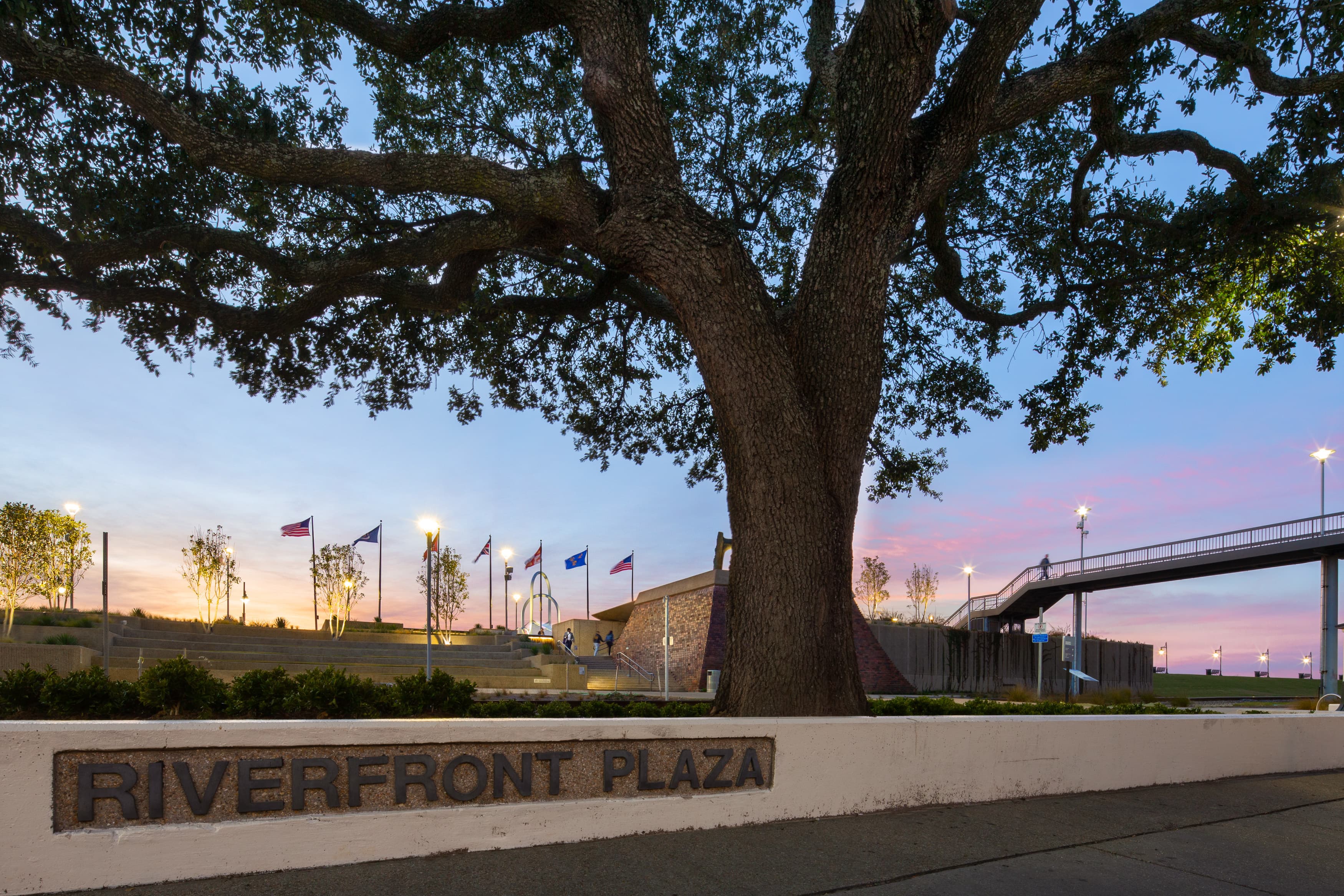
The project reflects a central goal of the upcoming Master Plan, Plan BRIII, which emphasizes the riverfront as a critical element of Baton Rouge’s downtown revitalization strategy.

Can you tell us about your role in the development of the Downtown Riverfront model?
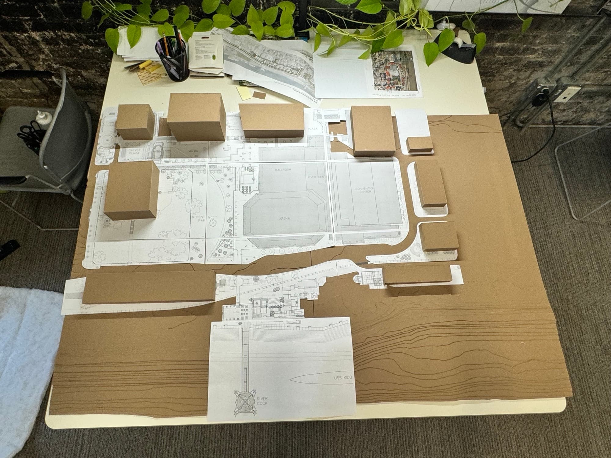
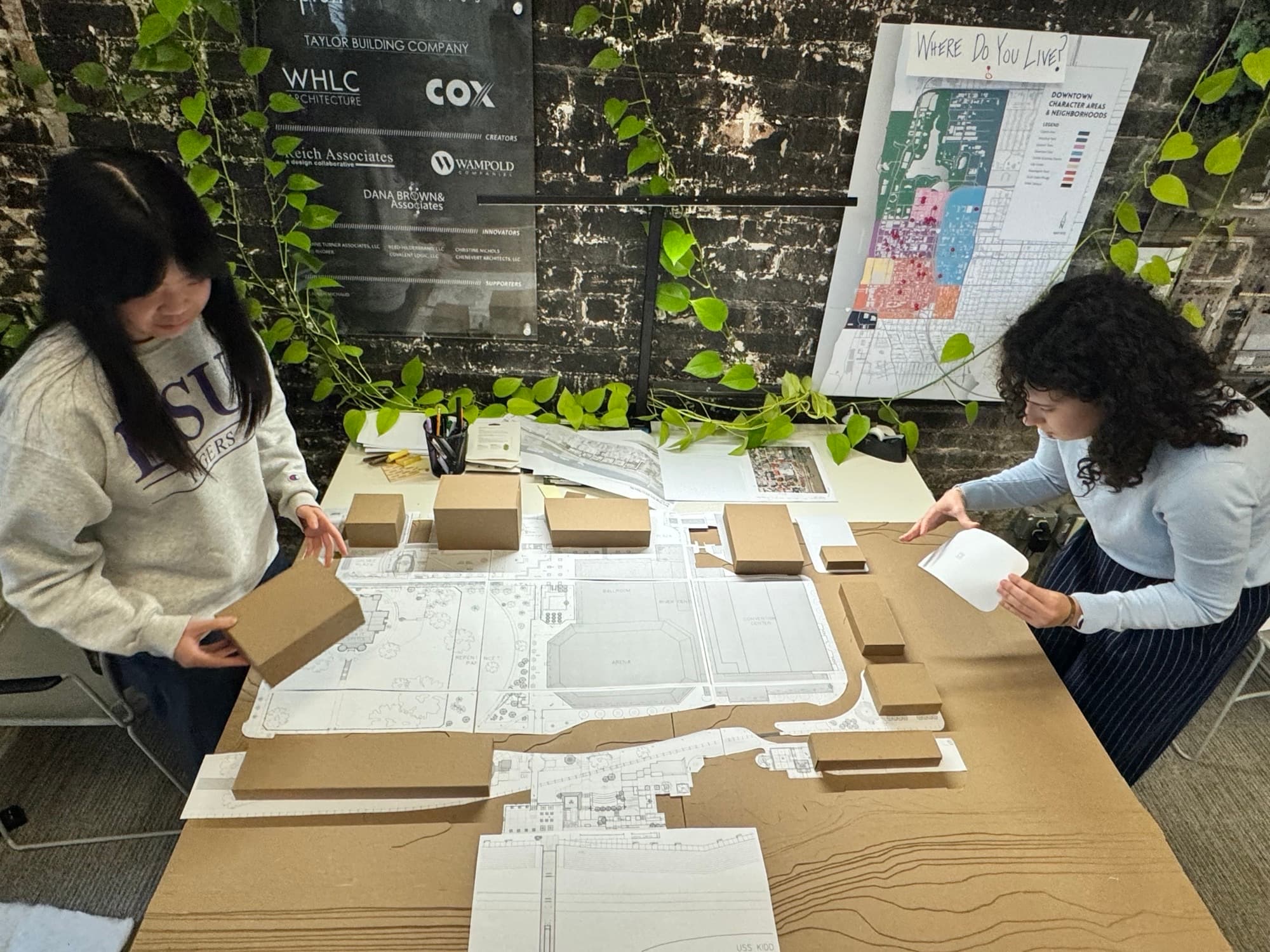
Milligan: I began by gathering elevation data for downtown Baton Rouge's riverfront from USGS LIDAR, which provides detailed elevation contours at 2-foot intervals. Using GIS (Geographic Information System), a software tool that allows users to create spatial maps based on real-world coordinates, I organized and processed this data. GIS is an accurate way to start making maps because data is linked to precise coordinate locations within the computer. After organizing the contours in GIS, cropping the ones I needed and joining lines together, I scaled them down in AutoCAD to 1" = 32' and printed an elevation map. I then cut each chipboard layer by tracing each line onto the chipboard, then cutting along those lines to make a topographic layer. In the end, the model is like a layered cake, where every layer corresponds to a 2-foot elevation change in the real world.
Richter: Over the summer, another intern, Gabriella Duvall, and I began working on some design concepts for a new River Center Campus. From site observations and reading the 2023 CSL Report on the River Center Complex, we added a convention center hotel, restaurants, and retail to the program. We also prioritized site accessibility and pedestrian connections to local attractions, including the USS Kidd, riverfront, Third Street, Central Green, and casino. In the fall, I took ideas from our favorite design schemes and made a digital 3-D model of the area to help with visualizing connections between the site's different levels. From there, I played around with the form of the building to help define pedestrian connections and make it inviting to the public. It's a massive building, but we wanted it to feel at a human scale. When we started building the model, I looked at maps of the area to get dimensions of surrounding buildings. I cut out the general massing of these buildings and our favorite design scheme, but we plan to keep the model flexible so that we can easily swap out different proposals in the future.
How did you decide on the design approach and scale for the model?
Both: First, we defined the area that we wanted the model to cover; we wanted to make sure all of the pedestrian connections were seen. West to east, the boundaries are the Mississippi River and St. Louis Street. North to south, it's bounded by North Boulevard and a half block south of France Street. When choosing the scale, we considered how large we wanted the model, what typical architecture/engineering scales were, and how the area and width of our building material (chipboard) would factor in. In the end, we chose 1" = 32', making the model a total of 40" x 60".

What part of the project are you most proud of?
Milligan: I'm proud of applying the full range of skills I've gained as a landscape architecture student. From using GIS to manipulate contour data, scaling it in AutoCAD, and translating it into a precise 3D model, this project demonstrated my ability to integrate technical and creative tools effectively.
Richter: I'm proud of how our proposal connects to its surroundings and creates a stronger connection to the waterfront. We really wanted to prioritize the pedestrian experience, pushing the footprint of the building back from the street to form a plaza and widening the existing bridge/creating another pedestrian bridge to the levee. The Riverfront already hosts several local attractions, but there are a lot of opportunities to create stronger connections and increase accessibility.
What’s the most significant thing you learned from this project?
Milligan: I knew Baton Rouge had more elevation changes than other parts of southern Louisiana, but cutting each layer by hand really made me realize just how dramatic those changes are downtown. The natural bluff on which downtown sits results in elevation differences of 20 to 30 feet in places, which is pretty significant!
Richter: There is more elevation change in Downtown Baton Rouge than I originally thought. It was challenging but fun to consider the different levels within the site, which had differences of 20-30 feet. It's important to consider these challenges when embracing Baton Rouge's character and thinking of ways to connect the attractions and amenities we already have.

How do you think this model can be helpful as we begin Plan Baton Rouge III and revisioning our Downtown Riverfront?
Both: The model offers a to-scale representation of the riverfront’s topography, making it easier for designers, planners, and stakeholders to visualize how downtown connects to the river—a key goal of Plan Baton Rouge III. When Amanda and I worked on design charrettes for the convention center hotel, understanding elevation changes of 16, 20, or 30 feet spatially was a challenge. This model resolves that by representing the area near LASM and the Convention Center, where 1 foot equals 32 feet in real life. It acts as a flexible tool, like Legos, allowing us to explore relationships between elements such as the road, levee, rail, river, and some of the largest gathering spaces downtown: Rhorer Plaza, Repentance Park, and the Central Green in River Center Campus. With block models of existing buildings and the ability to add new structures or plaza connections, we can experiment with configurations of these miniatures to do things like frame the river, create gathering spaces, and better integrate downtown architecture with the riverfront.

